Locations and Maps
Chickamauga Battlefield
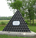
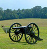
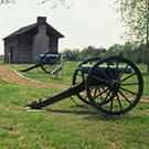
 Chickamauga is the largest of the battlefields (5,300 acres) and the one upon which the establishment and development of most other national military and historical parks was based. It was authorized in 1890 at Chickamauga, Georgia, and Chattanooga, Tennessee. It was officially dedicated in September 1895.
Lookout Mountain
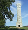
 Lookout Mountain and Point Park are part of the Chattanooga National Military Park which also includes Missionary Ridge and Moccasin Bend. These areas combined are approiximately 4,200 acres with Lookout Mountain being the most significant.
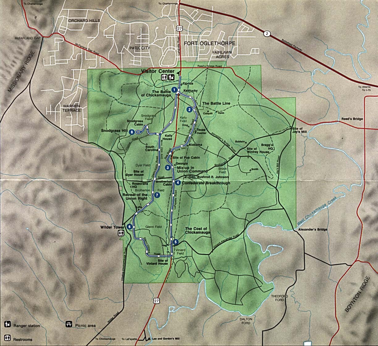
Combined Chickimauga and Chattanooga Military Parks
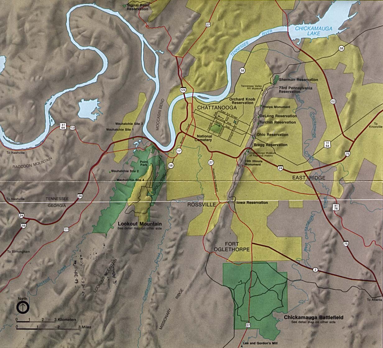 This map shows all of the Chickamauga and Chattanooga National Military Park which covers a wide area of North Georgia and South East Tennessee. Although they are near each other they are large enough and far enough apart that tours need to be scheduled seperately for each one.
You can view or save maps of the parks in Adobe PDF format at the links below.
Combined Chickamauga & Chattanooga Map
High Resolution Combined Map (103 MB File)
Tour arrangements can be made through this web site or by calling 423-240-2439.